Alpe Adria Trail Stages in the Soča Valley
The ALPE ADRIA TRAIL is 750 km long. It is divided into 43 stages. There are 5 stages of the Alpe Adria Trail in the Soča Valley.
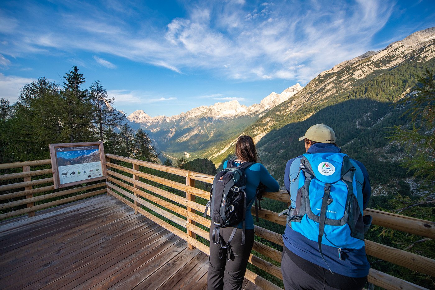
Stage No. 23 of the Alpe Adria Trail: Kranjska Gora - Trenta
This stage leads via the Vršič Pass, the highest mountain pass in the Julian Alps. Hikers can enjoy the picturesque view of the stunning north faces of the highest peaks.
Difficulty: moderate
Distance: 17,8 km
Ascent: 962 m
Descent: 1146 m
Duration: 6:30 h
Lowest point: 622 m
Highest point: 1618 m
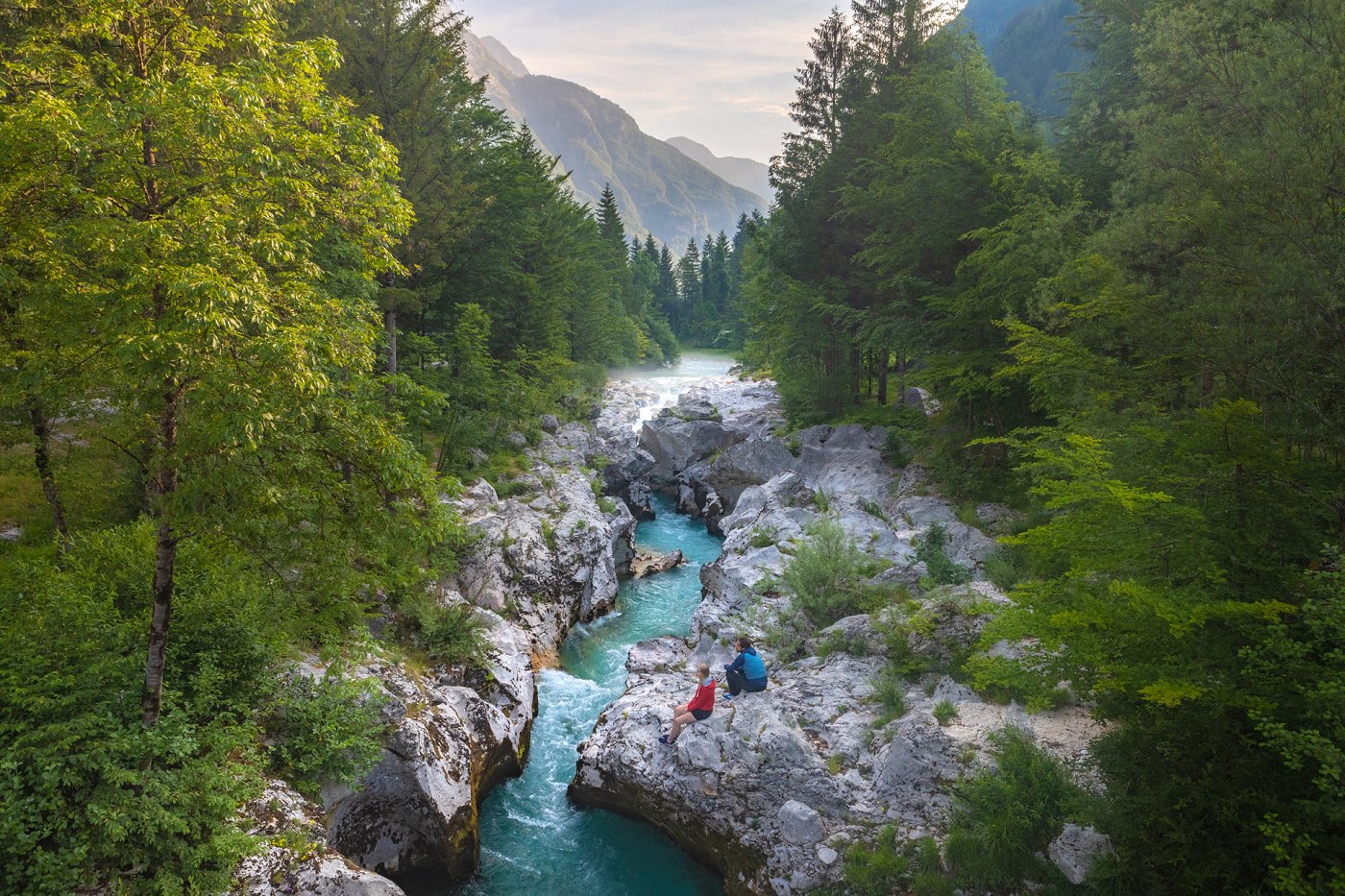
Stage No. 24 of the Alpe Adria Trail: Trenta - Bovec
This stage takes you along the marked and well tended Soča Trail. At the bridge over the Soča near Kršovec, which is close to the Triglav National Park, your route continues towards Jablance and Bovec.
Difficulty: moderate
Distance: 20,9 km
Ascent: 571 m
Descent: 736 m
Duration: 6:00 h
Lowest point: 394 m
Highest point: 645 m
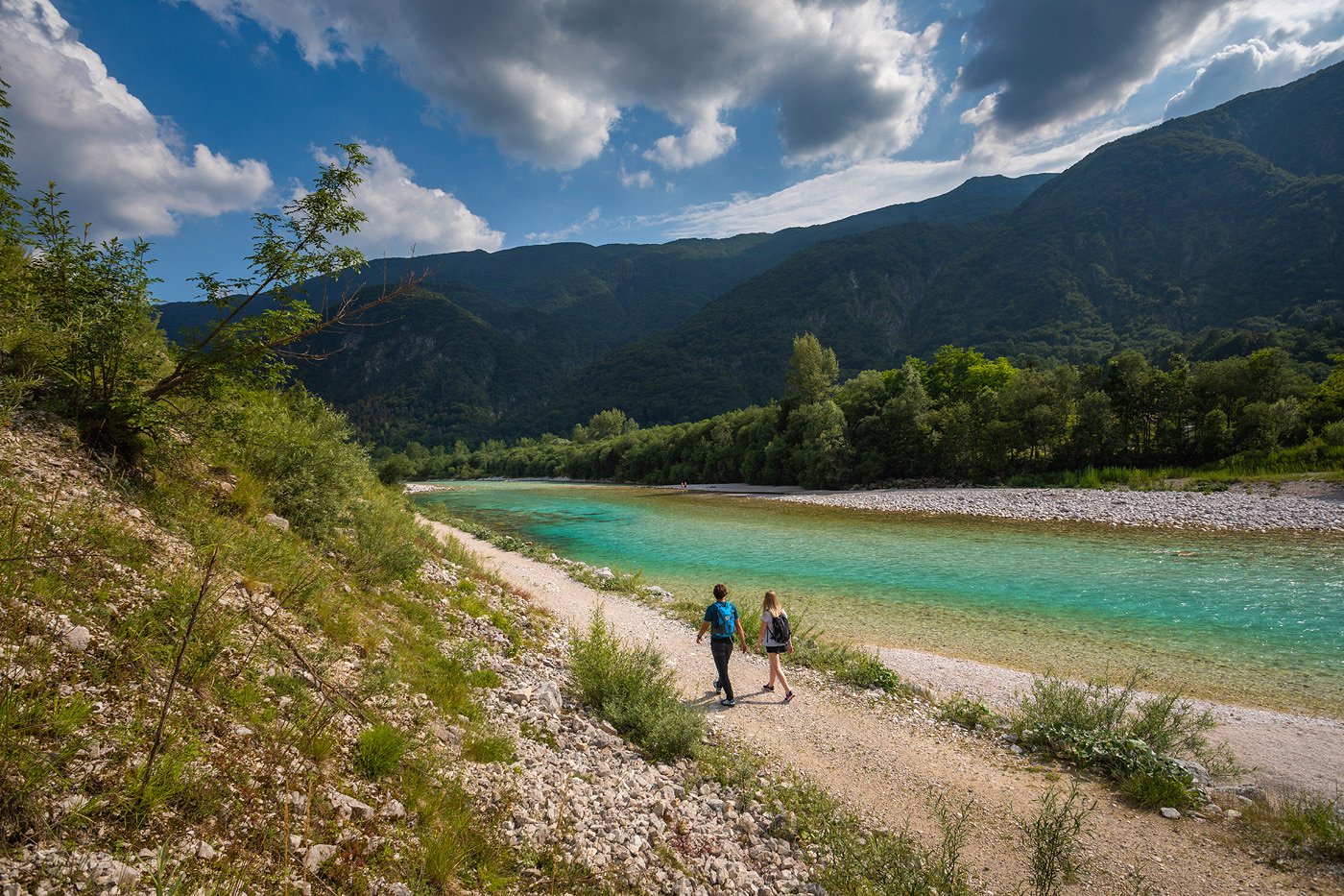
Stage No. 25 of the Alpe Adria Trail: Bovec - Drežnica (Kobarid)
A large part of this picturesque stage runs along the left bank of the River Soča, before turning away from the river towards the end of this stage. The route then leads up to the delightful village of Drežnica near Kobarid.
Difficulty: moderate
Distance: 22,5 km
Ascent: 526 m
Descent: 442 m
Duration: 7:45 h
Lowest point: 313 m
Highest point: 541 m
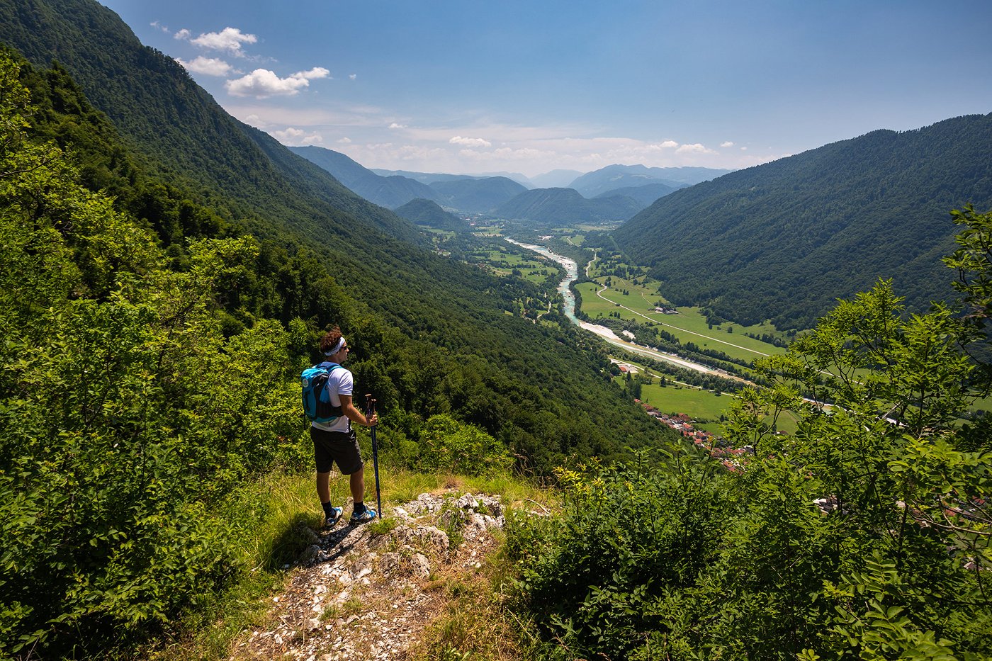
Stage No. 26 of the Alpe Adria Trail: Drežnica (Kobarid) - Tolmin
This stage is steeped in history – on former military paths and across the Alpine meadows of the Triglav National Park – and combines memories of the First World War with the traditional way of life of the inhabitants of this region. At the end of this stretch, the route descends again to the River Soča, before reaching the town of Tolmin in the evening.
Difficulty: difficult
Distance: 21,2 km
Ascent: 751 m
Descent: 1088 m
Duration: 8:15 h
Lowest point: 158 m
Highest point: 1238 m
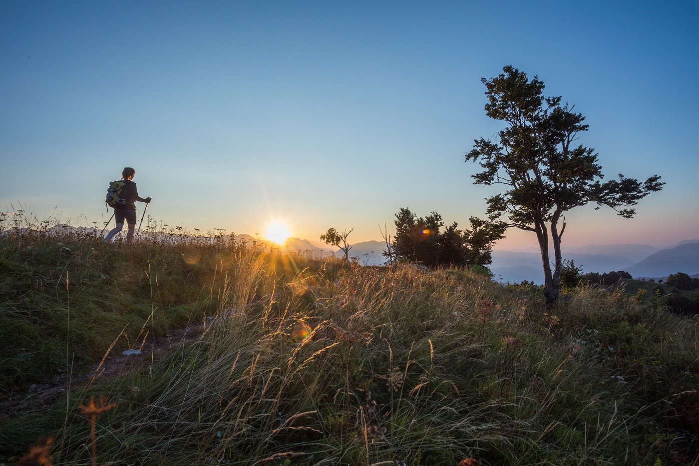
Stage No. 27 of the Alpe Adria Trail: Tolmin - Tribil di Sopra (Stregna)
On this “peace stage” you will cross the border between Slovenia and Italy. Your route takes you past valleys, rolling hills, an open air museum and a castle, and you will walk on paths which have written history.
Difficulty: moderate
Distance: 19,5 km
Ascent: 1308 m
Descent: 879 m
Duration: 6:15 h
Lowest point: 156 m
Highest point: 1103 m
Information and bookings
Alpe Adria Trail booking center Slovenia
Turizem Dolina Soče | Soča Valley Tourist Board
Rupa 17, SI-5230 Bovec
T: +386 5 30 29 643
E:
W: www.alpe-adria-trail.com

 This website uses technology and content from the Outdooractive Platform.